
Communities Help Shape Landslide Recovery Across Sri Lanka’s Central Highlands
1 October 2026, Nuwara Eliya, Sri Lanka. Following the devastation caused by Cyclone Ditwah in December 2025, post-disaster recovery and resilience building needs to go beyond simple restoration efforts. It is vital to listen to affected residents, understand the risks they face and ensure their concerns are integrated into settlement planning.
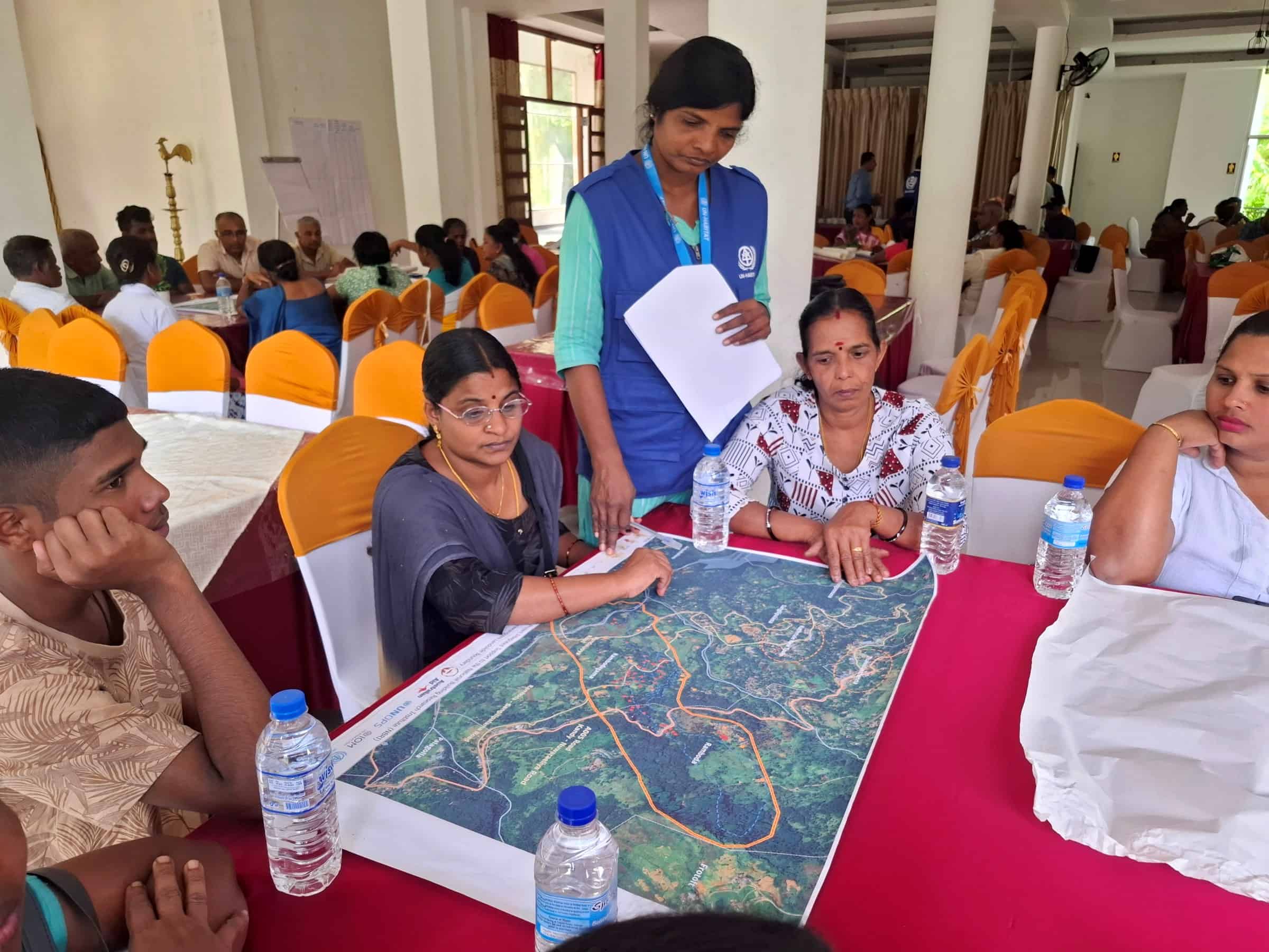 UN-Habitat, through the Integrated Support to the National Building Research Institute (NBRI) project, is supporting this process through participatory stakeholder mapping and community consultations in Kandy, Matale, Kegalle, Badulla and Nuwara Eliya districts. Funded by the Government of Australia, this project is jointly implemented through a partnership between UNOPS, UN-Habitat, IOM and the NBRI.
UN-Habitat began its community engagement with participatory stakeholder analysis and mapping exercises at ten project sites in the five districts. Residents identified community groups, frontline officers, local authorities and service providers they rely on, as well as people whose voices might otherwise be missed. This was followed by in-depth community consultation workshops with residents and other stakeholders, including government and local authority representatives, civil society organisations and religious leaders.
The consultations examined what recovery means to each stakeholder, in each location. Through participatory mapping and group discussions, community members described hazard histories, damaged infrastructure, disrupted services, livelihoods as well as the routes they use during heavy rains. Women and men, including youth and older persons, each brought different experiences to the discussion.
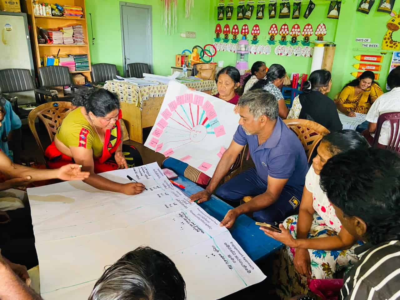 Mr. W.D.S.S. Amarasinghe, Deputy Director of Planning from Kothmale East, said, “This consultation has given residents an opportunity to explain how the disaster continues to affect their daily lives. Their knowledge of the area will help us understand the most urgent needs.”
Residents also discussed the need for early warning systems and the practical difficulties in reaching safe locations during inclement weather. Ms. W.A.I. Udeepana, a scientist from NBRI – Nuwara Eliya elaborated. “We discussed how to respond to early warnings and stay safe as well as the difficulties faced during evacuations. Together with technical assessments, this local knowledge can help us reduce future risks.”
During the consultations, many residents prioritized road access as it connects their homes to schools, healthcare centres, farmlands and evacuation routes. Technical assessments will examine the roads and associated risks, while authorities such as the Road Development Authority, Local Authorities and District/Divisional Secretariats will consider responsibilities and possible responses. Bringing these perspectives together will help decision makers understand both the physical condition of a site and the consequences for its residents.
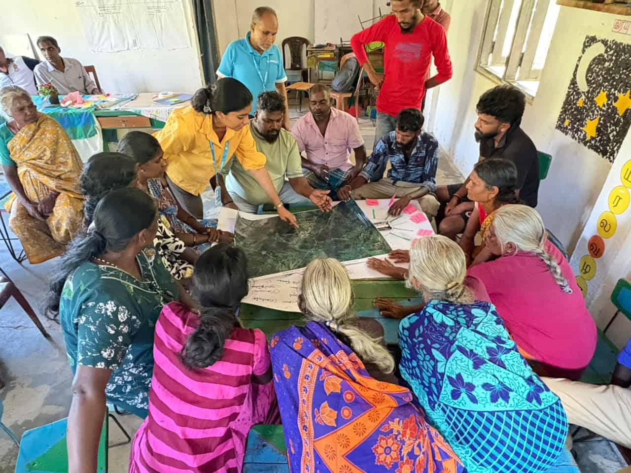 The discussions also helped residents and local officers understand one another’s concerns. Ms. Shamala, a resident from Horawanguwa settlement in Kotmale East DS division said, “Even if every priority can’t be addressed, I hope that being heard could mark a starting point for recovery”.
UN-Habitat also introduced a simple community feedback process at the consultations. Residents can use this mechanism to raise concerns, ask questions and receive updates as planning continues.
The next stage will involve ground verification and detailed technical and feasibility assessments of the identified priorities, guided by relevant national and international technical standards, guidelines and recommendations. Engagement with district and local technical officers will help ensure that proposed actions are practical and aligned with local plans and national priorities. Where appropriate, drone surveys and other technical investigations will support site-level assessment and validation, with expert input from NBRI, UNOPS, IOM and other relevant partners.
This people-centred process is helping connect local knowledge with hazard assessment, settlement planning and recovery recommendations across the five districts. Its value will be measured not only by the priorities recorded during a workshop, but also by how residents remain informed and involved as decisions are made.